Links to Provincial, Regional and City Bicycle Maps
Bike paths across Canada are evolving each year. Always ask a local for their advice on the safest route through an urban sprawl. Bike shops are great places to stop to ask for directions.
All Canadian cities have begun building bicycle infrastructure—enlarging shoulders, creating off-road paved bike paths, better bike signage. Between cities there are still gaps in bike networks. In only a few provinces there exists provincial-wide organisations that work on improving these networks, such as Vélo Québec, Ontario By Bike™ and Bike BC.
National
- Open Street Cycle Map
- Google Bicycle Map
- Trans-Canada Highway Map :: From Transport Canada - Government
- Trans-Canada Trail Map
- Reference Maps :: Collection of Provincial Maps - Government
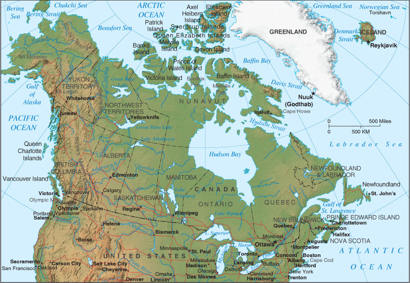
- 22 maps of Canada as you’ve never seen it before :: Maclean's Magazine
- Distance Calculator
- BikeMaps.org :: Map your cycling experience to make biking safer
- Bike Maps :: Search for a region or city bike map
- 10 Bike Trips That Will Make You Fall in Love with Canada
Trans-Canada Highway
Here is a website by Mark Ruthenberg with information on the highway, coast-to-coast. The highway will be a big part of your trip. It is maintained provincially and some sections are in better condition than others. I have linked to Mark's specific page on cycling with suggestions from across the country.
Regional
- Icefields Parkway Highway - Tour through Jasper and Banff National Parks
- Great Lakes Waterfront Trail - Connecting all Great Lakes (ie: travelling Niagara-Hamilton-Toronto eastward to Kingston on same route)
- La Route Verte - maps across Québec
- Atlantic Canada Cycling - Bicycle touring information in Canada's Atlantic Provinces - Nova Scotia, Prince Edward Island, Newfoundland, New Brunswick
Provincial and City
- See the Province-by-Province page for provincial and city maps.
USA
- Adventure Cycling Association
- 10 Long-Distance Bicycle Routes in the U.S.
- 5 Great Bike Rides in Newfoundland, PEI and Nova Scotia
